
News you can use
News you can use
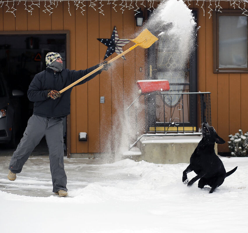
A winter storm warning is in effect until 11 p.m. Tuesday.
According to the National Weather Service, widespread accumulating snow is expected to continue through Tuesday evening with the heaviest amounts accumulating today. A total of 10 to 18 inches of snow are expected throughout the plains and valleys, with two to three feet in the mountains.
High winds are expected to rise today and decrease by tonight. These winds will cause cold wind chills with a low of minus 16, as well as snow flurries which will reduce visibility to less than one mile at times on the roads.
Don Emanuel, meteorologist at the National Weather Service in Great Falls, said that this storm is caused by moisture coming from the Pacific and cold surges of air coming from Canada.
"Most of the snow will be across the north central portions (of Montana)," he said. "The winds should be coming down if they haven't already."
According to The Weather Channel, snow is expected Tuesday and Saturday with highs ranging from 9 to 15 degrees throughout the week and a low of minus 12 Thursday.
David Peterson, director of the Havre public works department said his crews work every day plowing and sanding the roads in the community.
"They were out this weekend sanding and plowing what they could, and they'll continue on through the rest of the storm," he said.
Peterson added that people should drive with caution and be cautious of the sanders and crews while they are outside.


Reader Comments(0)