
News you can use
News you can use
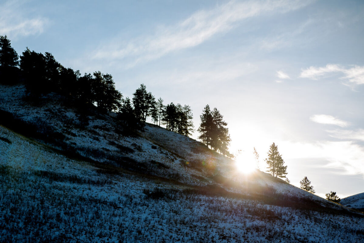
Sun peeks out from behind the trees on a snow-covered hill in Beaver Creek Park Tuesday. After a wild ride of heavy snow that melted off within a week or two, forecasters say Old Man Winter is likely to come back to this part of north-central Montana with a vengeance in January and February.
As much snow as the Havre area has seen in an unusual fall, this region probably haven't seen anything yet.
Though the Winter Solstice officially begins Saturday, Havre and surrounding areas, as well as much of central Montana, have seemingly already been locked in winter's snow grip since the end of September, and therefore, long-standing records have fallen or were threatened, said Jane Fogleman of National Weather Service in Great Falls.
"When we talk about snowfall in a season, we mean, from when the first snowfall comes, and this year, it was in September," she said. "So that's somewhat unusual."
In reality, it's been an unusual year weather-wise for the Havre area.
After a brutal February and March, which saw heavy snow and bone-chilling cold, things leveled out last spring, but the summer of 2019 saw temperatures below their daily average for the months of June, July and August. The meteorological summer begins June 1 and ends Aug. 31, and during that stretch, Havre was nearly two degrees below normal, while precipitation for the summer months were slightly above normal.
"The summer for Havre was slightly below average," Fogleman said. "Not by much. But it was a bit on the cooler side."
While summer was at least close to normal, the fall of 2019 was anything but.
Starting with a massive storm of heavy, wet snow on the final weekend of September, Havre ended up being in the crosshairs of a record-setting fall. The metorological fall is from Sept. 1 to Nov. 30.
In terms of snow, Havre received 10.5 inches in September, which broke the old record of 8.7 in 1934. Havre received only a recorded one inch in October, but November saw Havre receive near-record snowfall. Havre received 25.8 inches of new snow last month, falling just shy of the 1958 record which saw 26.4 inches land on Havre.
Temperatures in the fall were also well-below average. September was just shy of one degree below normal, but October wound up being 7.3 degrees below normal and November averaged 4.4 degrees below normal.
"Those daily average temperatures were significantly below normal for October and November," Fogleman said. "Havre was quite a bit cooler than normal this year."
So far, neither trend has continued in December. Havre has seen 7.5 inches of new snow this month, with the record of 27 inches for the month of December set in 1936. Havre is also averaging nearly a full three degrees warmer this month than average. The average daily temperature for Havre in December is 22.5 degrees.
And, Fogleman said, in the short term, those two trends are set to continue.
"Looking at eight to 15 days out, it looks like Havre is favorable for seeing at, or slightly above average temperatures and below normal precipitation," Fogleman said.
Indeed. The Weather Channel is calling for a high of 46 degrees today, followed by a high of 50 Saturday and 45 Sunday, all accompanied by southwest winds in the 20 to 30 mph range. From there, temperatures next week are expected to go back into the low 30s and high 20s, with lows in the teens. Little to no chance of precipitation is predicted, and the forecast for Christmas Day calls for a high of 31 with mostly sunny skies.
Of course, that's only the beginning of the winter. And while forecasts for the next two weeks are fairly stable, projecting the next three months is different.
Still, there are projections out there, and for the Havre area, and most of north-central Montana, the projections aren't pretty.
For January, NOAA is projecting that Havre, and much of Montana, has a better than 70 percent chance of temperatures being below normal. The same projection exists for Havre and the Hi-Line for the three-month cycle of January, February and March.
The Weather Channel also recently released its three-month winter outlook, with projections for below average temperatures for January, and well below average for February. The outlook also cited that conditions are trending in the direction that could see the United States experience a February very similar to 2018, which, for Havre and much of Montana, would not be good. The Weather Channel projected a shift for March, to above-average temperatures.
As for precipitation for the coming months, NOAA and The Weather Channel predictions are similar, with average or slightly above average snowfall predicted for January, and well-above average snowfall slated for February,
"That's what we're seeing, too," Fogleman said. "When we're making these long-term projections, we're taking a lot of different things into consideration. El Niño and things like that. And things can always change. But right now, what we're seeing is probably in the range of at- or below-average temperatures for this winter."
Average or below-average temperatures will also likely mean more snow and more storms for Havre, which seems to be in the bullseye of a now three-year rough winter trend. In fact, Havre really seems to be in the bullseye of late, considering the last two winter storms were very localized. Reports during those two storms included conditions, south and east of Havre being better within just five miles of the city limits. So, with that, and with the 2018 and 2019 winters both breaking numerous records, and with Havre having already seen a lot of snow this season, it could be another record-breaking three months.
"As of Dec. 18, Havre has received 44.2 inches of snow since Sept. 1," Fogleman said. "The previous record was 25.1 inches by Dec. 18 in 2010. So, Havre is well, well above its normal totals for this time of year."
Luckily for Havre residents, though, those massive fall snow totals have not stayed on the ground as warmups have melted much of what Havre has received. Moving forward, though, that will not be the case.
"Up to this point, we're talking about snowfall, not snow depth," Fogleman said. "Havre has had a lot of snowfall so far this season, and for the entire year to date, much more than average. But as we get into January, we start looking at actual snow depth because the temperatures will be colder, and the snow will stick around at that point."
All added up, Havre has been on a wild ride since Jan. 1. The year began with one of the coldest Februarys on record, and it's just kept on chugging, with a colder than average summer, and fall that included a snowstorm before Oct. 1.
Now, however, the 2020 winter is within sight, and Havre residents might want to hold onto their shovels because, if projections turn out to be right, it's likely going to be more of the same that the region has seen the last two years.


Reader Comments(0)