
News you can use
News you can use
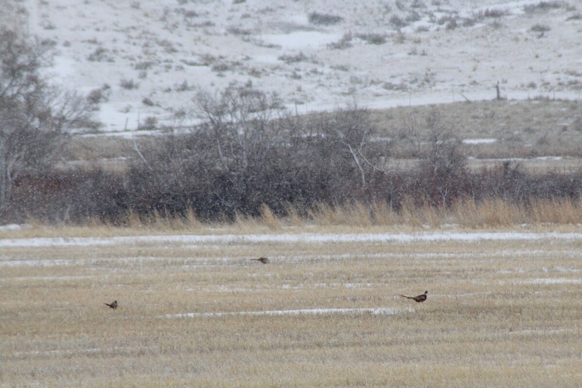
Pheasants eat in a stubble field east of Havre Wednesday afternoon during a light snow shower. Heavy snow fell in the Bear Paw and Little Rocky mountains Wednesday. While temperatures are expected to remain relatively warm in this region the next week or so, National Weather Servivce reports that some colder weather and snow could very well hit the area again later in February and early March.
After a fairly tame start of February, meteorologists are predicting temperatures to dip in the third week of this month.
The past week the area has seen highs in the high 30s, and until the last two days lows hadn't dipped into negative numbers with Feb. 2, the coldest day of the month so far registering a low of 3 and a high of 11.
While many roads remain covered in Havre, the above freezing highs in the area have allowed some of the snow and ice to melt for long enough to drain.
February has been light on snow for the most part with Havre having gotten some very light snowfall last night, but the Bear Paws got hit a lot harder, with Rocky Boy reporting five inches of snow Wednesday.
Some areas of the larger, north-central Montana region saw much more snowfall than Havre, with blizzard-like conditions reported in Hays and Zortman which made for rough highway conditions and low visibility.
As for the rest of the month, Great Falls Weather Center Meteorologist Scott Coulston said temps should remain near or above normal with highs in the 30s and 40s and overnight lows in the teens and lower 20s through Valentine's Day, before starting to take a dip around Wednesday of next week.
After that, Coulston said, they are predicting highs in the 20s and lows in the lower teens.
After that, he said, they are predicting colder than normal temperatures and above average precipitation through the rest of the month.
He said there's no concerns of extreme weather in the near future aside from some gusty 15 to 20 mile per hour west winds after Friday, with gusts of up to 35 miles per hour.
These winds will likely slow Tuesday or Wednesday of next week, he said.
Overall, Coulston said, February is predicted to be equally likely to be above, below or equal to average in terms of temperatures and likely to come in slightly above average in terms of precipitation.
Looking further into the future, he said, the February through April period of the year is likely to have lower than average temperatures and higher than average precipitation, but the worst of the cold will likely be gone by the end of March.
Coulston said there is always a possibility of the area having a cold snap depending on what kind of weather systems make it down from Canada, but he doesn't see anything especially concerning on the immediate horizon.
As for the past month, he said, January's average temperature was actually slightly above normal for January, but the temperature shifts throughout the month were very sporadic with a high of 42 and a low of negative 11.
"I guess it could best be described as a rollercoaster month," he said.
Some in the area are hoping that recent precipitation may help alleviate the ongoing drought in the area, but data from the U.S. Drought Monitor shows Hill and the surrounding counties to still be in drought conditions of various severity.
Drought conditions have persisted in the area for the past few years. Almost the entire eastern half of Hill County is listed at "extreme drought" on the U.S. Drought Monitor website, with small patches of "moderate drought" conditions at the northeast and southwest tips.
The western half of the county are listed as in "severe drought" with a patch of north-cental Hill County in "moderate drought."
Almost all of Liberty County is in "severe drought" with only its northern edge and a small patch of its southwest corner in "moderate drought."
The majority of Chouteau County is in "moderate drought" as well with a patch in the northern edge of the county split between "severe drought" to the east and "extreme drought" to the west.
Blaine County is in the worst shape when it comes to drought in this area of Montana with most of the county in "extreme drought" with patches of "severe drought" at its northern edge and southeast and southwest corners.


Reader Comments(0)