
News you can use
News you can use
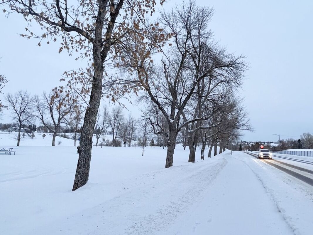
New-fallen snow lines 11th Street West Wednesday as a car drives toward Highland Park. While this part of Montana has not seen the extreme winter weather from the eastern edge of Montana through the Great Lakes region, snow and temperatures have fallen, and more snow is in the forecast with extreme cold expected next week.
While this region has not seen the extreme weather from the eastern edge of the state stretching to the east and south, north-central Montana continues to see snow and temperatures are expected to drop even lower next week, with highs in this area next Wednesday expected to be below zero.
But eastern Montana, from Poplar to Miles City and east into the Dakotas, is under a winter storm watch while the eastern part of the Dakotas are in a winter storm warning and southern South Dakota is in a blizzard warning.
That storm, that includes wintry weather through Michigan with snow causing problems as far as the Appalachians and is expected to push into New England, is expected to last for days, while tornadoes are hitting areas, and causing at least three deaths, farther south from Texas through the Florida panhandle.
In this part of Montana, temperatures had dropped, although they rose by Wednesday afternoon, and snow dropped as well.,
In Havre, for example, the low dropped to minus 11 by 5:56 a.m. Wednesday, Weather Service reports, but the high shot up to 28 degrees by 3 in the afternoon.
Weather Service reports that Havre has received 12.65 inches of snow for the month through Wednesday, with .65 inches of precipitation, both far above the normal amount for Dec. 14.
The forecast calls for a continued chance of snow from Friday through the middle of next week, with an inch to 3 inches predicted in this region Saturday and Saturday night, with a chance of snow returning Sunday night through Wednesday.
Temperatures are expected to be in the teens to low 20s through Saturday, then dropping again with lows expected below zero that night.
Starting Sunday, some highs in the area are expected to be below zero, with lows dropping into the minus 20s by Tuesday night and highs Wednesday expected to range from minus 8 to minus 14.
The precipitation is pumping up the region's accumulated moisture, although it is still far short of normal.
Havre has received 9.62 inches of precipitation through Dec. 14, with the normal amount for that date 11.58 inches.
For the water year, that is measured starting Oct. 1, Havre has received 2.68 inches, above Dec. 14's normal amount of 1.4 inches.
But the region still has a massive accumulated water deficit. The normal value from Jan. 1, 2020, to Dec. 8, 2022, the latest data available, is 35.15 inches of precipitation and the actual value this year is 26.41 inches, 8.74 inches short.


Reader Comments(0)