
News you can use
News you can use
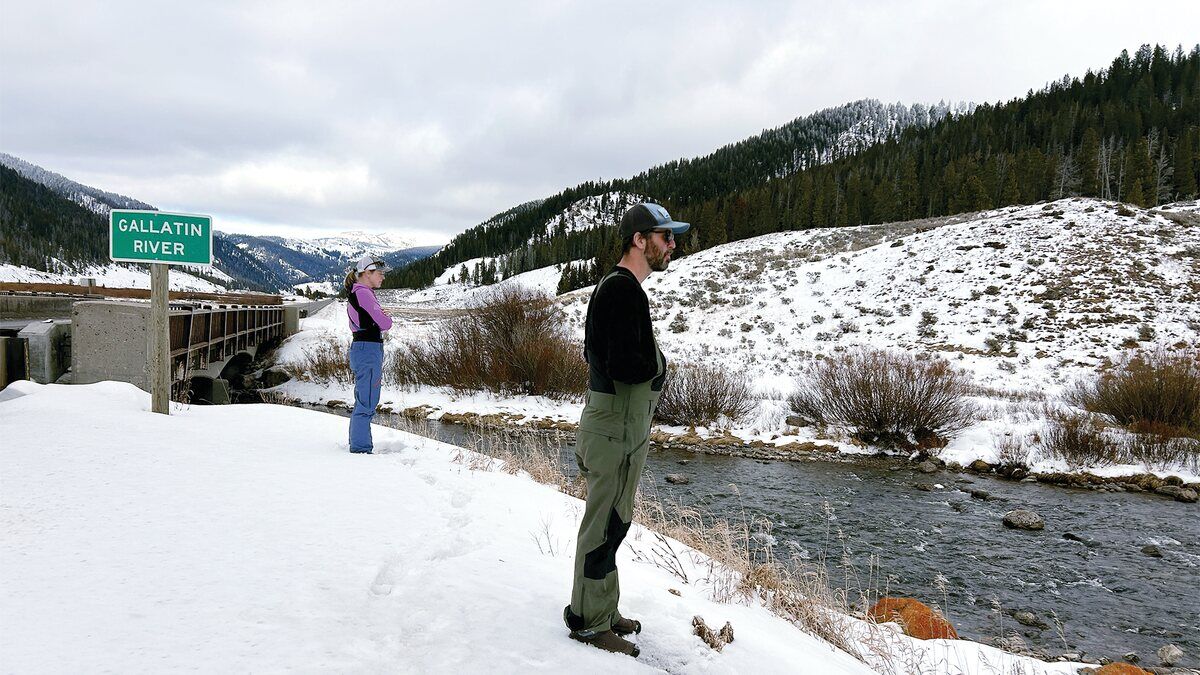
Natural Resources Conservation Service Hydrologist Lauren Austin and Water Supply Specialist Eric Larson survey the water situation at the Gallatin River.
Natural Resources
Conservation Service
BOZEMAN - At the beginning of January, more than half of NRCS snow monitoring stations in Montana and surrounding river basins reported their lowest snowpack on record.
"Well-above-normal precipitation was needed to begin a recovery from lack of snow, yet precipitation was mostly below normal across Montana last month," Eric Larson, USDA Natural Resources Conservation Service water supply specialist, said Monday.
The exception was the northern Flathead and Kootenai River basins in Montana where total monthly precipitation was near normal. Other basins west of the Continental Divide received 70-90% of normal precipitation during January. East of the Continental Divide, the southern Rocky Mountain Front, central Montana, and part of southwest Montana received about 60-70% of normal January precipitation. The Gallatin, Upper Yellowstone, Bighorn, Powder and Tongue River basins received less than 65% of normal January precipitation.
"January began with a promising storm that delivered snow to western Montana. During that time snow depth nearly doubled from about 35 to 70 inches at upper mountain elevations in northwest Montana. East of the Continental Divide, storm totals during the second week of January were about 6 to 18 inches," Larson said.
That storm was followed by very cold temperatures and relatively inactive weather. Sixteen SNOTEL sites recorded temperatures below minus 40˚ F and most SNOTEL sites in Montana dipped below minus 30˚ F mid-month. High temperatures on Jan. 12 peaked below 0˚ F across much of the state. Active weather returned during part of the second half of January but was only significant in northwest Montana. Overall, during the second half of January the temperature was well above normal, and precipitation was well below normal for most of the region.
As of Feb. 1, snowpack percentages are still well-below-normal in all Montana river basins. Currently, the Kootenai and northern Flathead River basin snowpack is highest at about 70% of normal. All other basins have a snowpack that is between 40-60% of normal, except for the Upper Missouri and Sun-Teton-Marias snowpack which is between 35-45% of normal.
"More than half of NRCS snow monitoring stations recently measured for Feb. 1 remain at either their lowest or second lowest snowpack on record," Larson said.
Current snow water equivalent deficits range from about 7-10 inches at upper elevations and 3-5 inches at lower mountain elevations across Montana.
"Considering fresh snow falls at roughly 10% density, that is upwards of 70-100 inches of snowfall behind normal in some mountain locations," Larson said.
With two to three months remaining of the normal snowpack accumulation season it is going to take a major change in weather to rebound from some of those snowpack deficits.
"In recent history, February through April of 2003, 2011, 2014, 2017, and 2018, brought well-above-normal precipitation across Montana. A three-month repeat like one of those years will be necessary to make gains by May 1," Larson said.
If precipitation is not above normal over the next several months, streamflow in Montana during the upcoming spring and summer season are likely to be below normal.
"The good news is, a winter storm is on the horizon, which will hopefully add to the snowpack across Montana in the coming days," Larson said.
Spring and summer water supply forecasts will be published by the NRCS in the March 1, 2024, Water Supply Outlook Report.
A full report of conditions on Feb. 1 can be found in the monthly Water Supply Outlook Report available on the Montana Snow Survey website. In addition, real-time snow survey data can be found at nrcs.usda.gov/montana/snow-survey.
Reader Comments(0)