
News you can use
News you can use
Colder temps expected later in the week
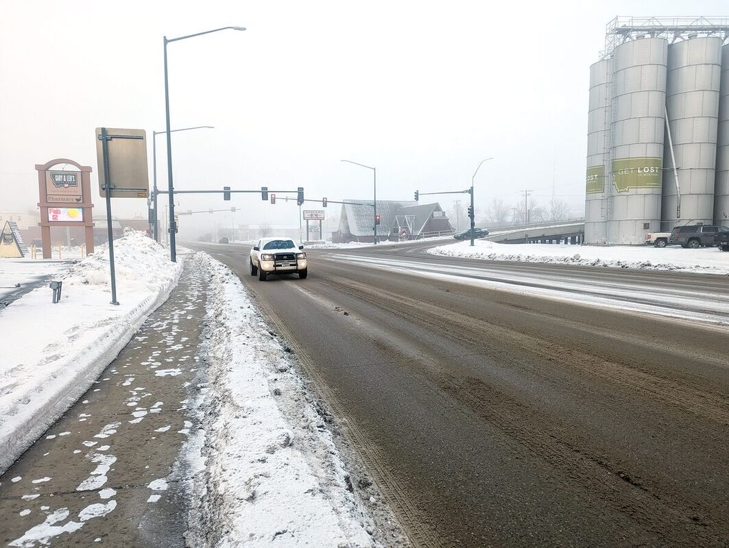
Fog shrouds downtown Havre this morning; limiting visibility to a few hundred yards. The fog had cleared by mid-morning and temperatures were expected to get into the 30s; but a chance of snow remains in the forecast for this area through Wednesday.
Although the forecast doesn't call for snow like it fell in this part of Montana last week, it does predict a chance of snow through Wednesday with temperatures getting a bit chillier, with a chance of lows below zero, later in the week.
Regular heavy snowfalls hit the region last week, with more than an inch falling in Havre by Thursday and nearly another inch Friday.
By this morning, National Weather Service reported 2.5 inches of new snow falling at its recording station at the Havre City-County Airport since last Monday.
That is on top of nearly 6 inches of snow that had fallen earlier this month, and almost 14 inches that had fallen from Dec. 1 to Feb. 1.
The snowfall this week is expected to be from about a half-an-inch to an inch-and-a-half on the plains, with as much as 4 inches to 5 inches possible in the Bear Paw Mountains.
The snow this week is expected to be much heavier going toward the Continental Divide, with Weather Service reporting that, along U.S. Highway 2, 1 inch to 3 inches of new snow are expected around Cut Bank, 3 inches to 6 inches near Browning, 6 inches to inches to 10 inches at East Glacier and 12 inches to 16 inches at Marias Pass.
And while the forecast calls for highs in the 30s today and 20s Tuesday and Wednesday, temperatures are expected to drop a bit later in the week.
The cold temperatures, though, will be nothing like the frigid blast of arctic air that locked in on the area in mid-January, when temps remained in the minus 20 degree to minus 40 degree range. However, lows could drop into the single digits or even below zero by Wednesday through Friday, with highs in the low 20s and teens and colder temperatures farther west in this region.
The temperature is expected to creep back up after that, with highs back in the 20s to 30s by Saturday and Sunday and lows in the single digits to teens.
The snow has helped with the water situation in the region, although officials say snowpack in the mountains could lead to low stream levels come spring and summer.
In Havre, Weather Service reports reports a total of 22.2 inches of snowfall since Dec. 1, with 27.9 inches including earlier snow, starting Oct. 1, the start of the water year.
Havre has recorded at the airport .88 inches of precipitation for February, well-above the normal value for Feb. 11 of .15 inches.
It has received 1.83 inches since Jan. 1, 1.25 inches more than normal for the date, and å3.95 inches for the water year, 1.73 inches more than the normal value of 2.22 inches.
The moisture so far has kept the area out of formal drought conditions, although the most recent update available on the U.S. Drought Monitor, released Feb. 8, show all of Blaine, Chouteau, Hill and Liberty counties are part of a swath of "Abnormally Dry" conditions across the northern tier of the state.
A similar stretch goes across the southern part of Montana east of the Continental Divide, with just a section of central and east-central Montana shown as having no drought conditions.
Moderate to severe drought is again shown in the western part of the state.


Reader Comments(0)