
News you can use
News you can use
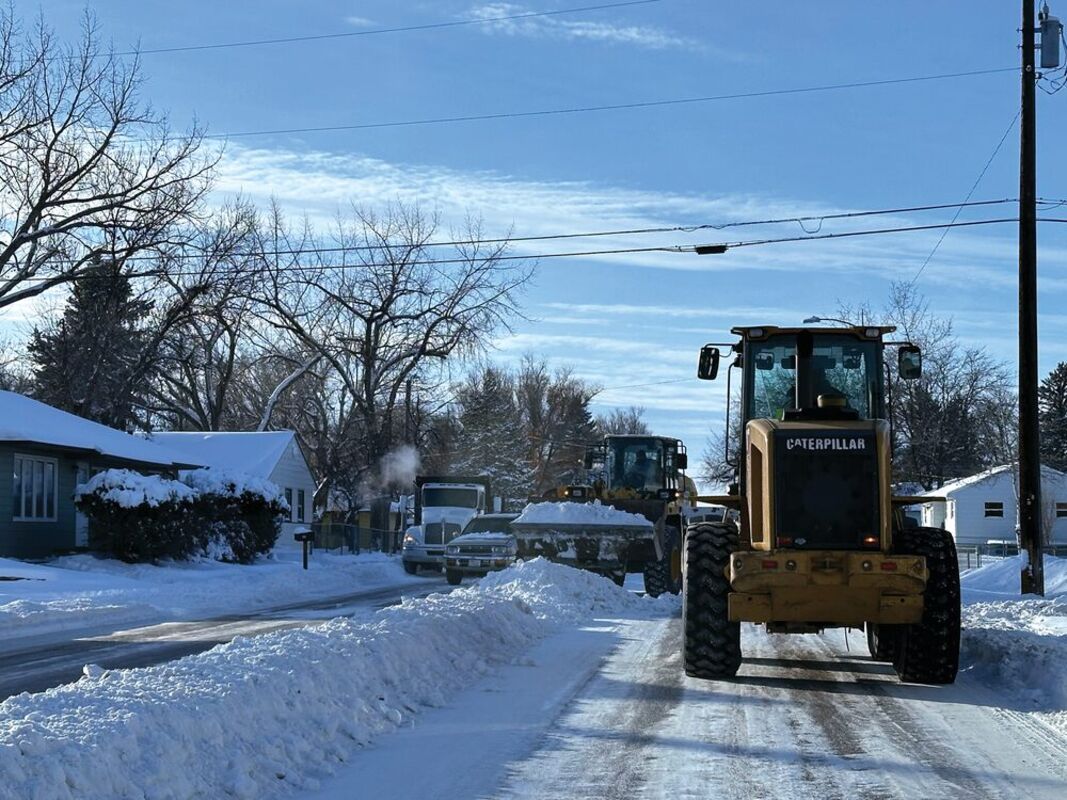
Workers clear snow off of 11th Street.
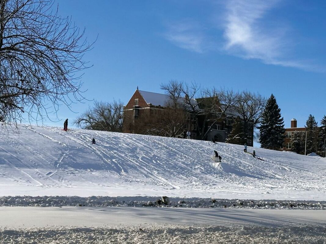
Children sled on College Hill Saturday afternoon.
The National Weather Service's winter weather advisory has ended for the Havre as of this morning after receiving almost 7.5 inches of snow late last week, and temperatures are predicted to rise significantly, with highs peaking over freezing for the rest of this week, but areas south and east are still being affected by winter conditions.
During last week's snowfall Rocky Boy's Indian Reservation got between 5 and 8 inches of snow, rising to around a foot going further up the Bear Paw Mountains, while northern Hill County got only around an inch approaching the northern border.
Bear Paw Ski Bowl announced on Facebook Sunday it had a lot of kids out enjoying the "wonderful weather."
People were also out in Havre enjoying the warmer temperatures with some sledding.
Areas of Hill and Chouteau counties got freezing rain Sunday morning. And some offices and schools on Rocky Boy's and Fort Belknap Indian reservations said this morning they would be opening late.
As for this week, The National Weather Service predicts that today will have a high near 20 and wind chill values as low as zero and an overnight low of 15, chilly, but a far cry from the intense cold of the past week.
The Weather Service is also predicting a slight chance of rain and snow overnight, with high chance of fog but little chance of accumulation.
Tuesday's high is predicted to be 36 with a low of 20, and Wednesday's and Thursday's high is predicted to be near 34 with lows of 12 and 16 respectively.
Temperatures are predicted to stay consistent through the weekend with highs of 33, 35 and 39, for Friday, Saturday and Sunday, and low in the mid teens to low twenties.
The week is expected to be cloudy throughout.


Reader Comments(0)